
Visual Positioning System
AI-powered vision-based navigation that keeps UAVs on course where GNSS is denied, jammed or EW-congested.
See it in action
A mission loop with jamming zones on both legs. GNSS cannot be trusted anywhere along the route.
Illustrative simulation
How it works
- 01
GNSS is jammed
In EW-congested areas, satellite navigation signals can be denied.
- 02
Inertial drift builds
Without an outside reference, dead-reckoning error keeps growing over time.
- 03
Stride VPS holds position
Vision-based navigation recognises the terrain below and keeps error bounded.
The vision
Our vision is to enable resilience and autonomy for UAVs, and to make field-reliable robotics systems a global standard.
Built for the field
GNSS-Denied Ops
AI-powered vision-based navigation for operations in EW-congested areas.
Plug-and-Play
Compatible with MAVLink and NMEA supporting firmware (PX4, ArduPilot).
- MAVLink
- NMEA
- PX4
- ArduPilot
Platform Agnostic
Designed to work across rotary, hybrid VTOL or fixed-wing UAVs.
- Rotary
- Hybrid VTOL
- Fixed-wing
Integrated Unit
SWaP optimised. A fully integrated module with sensors and compute.
The technology
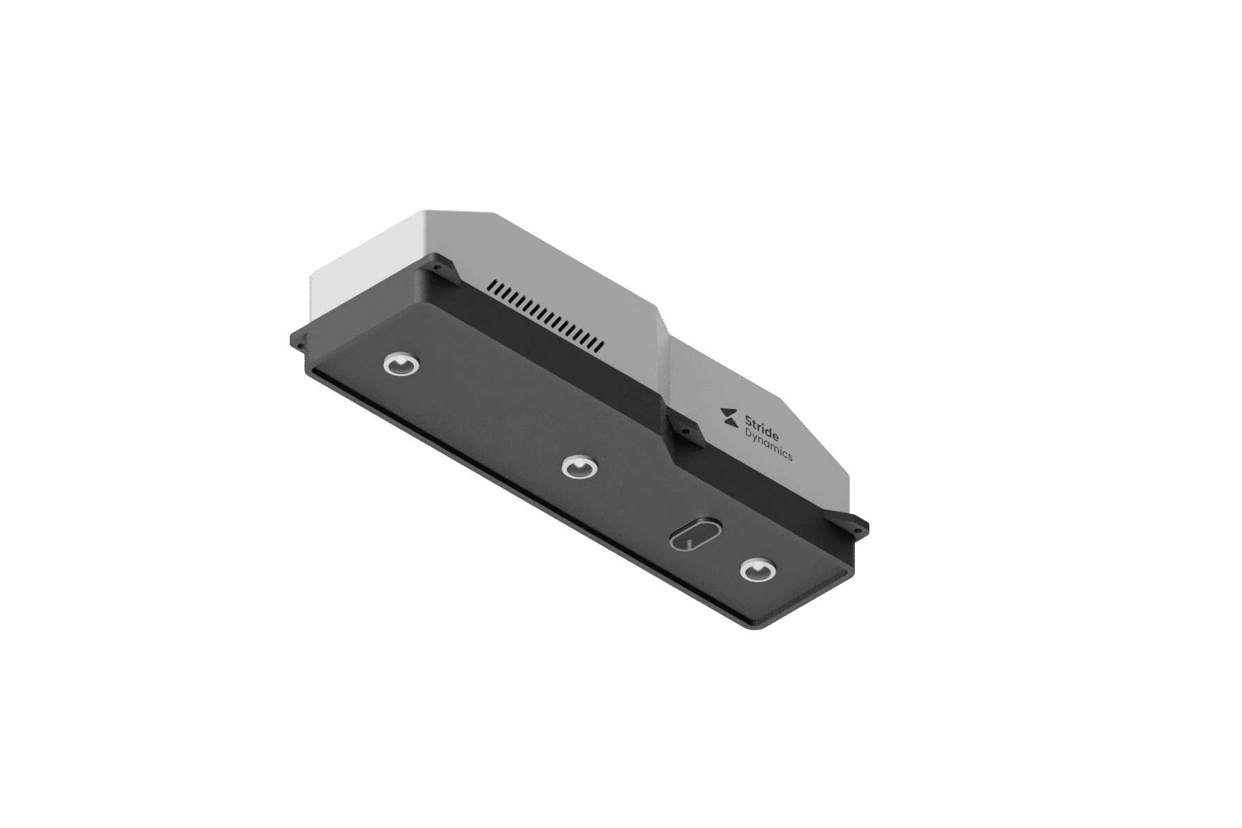
Stride VPS module
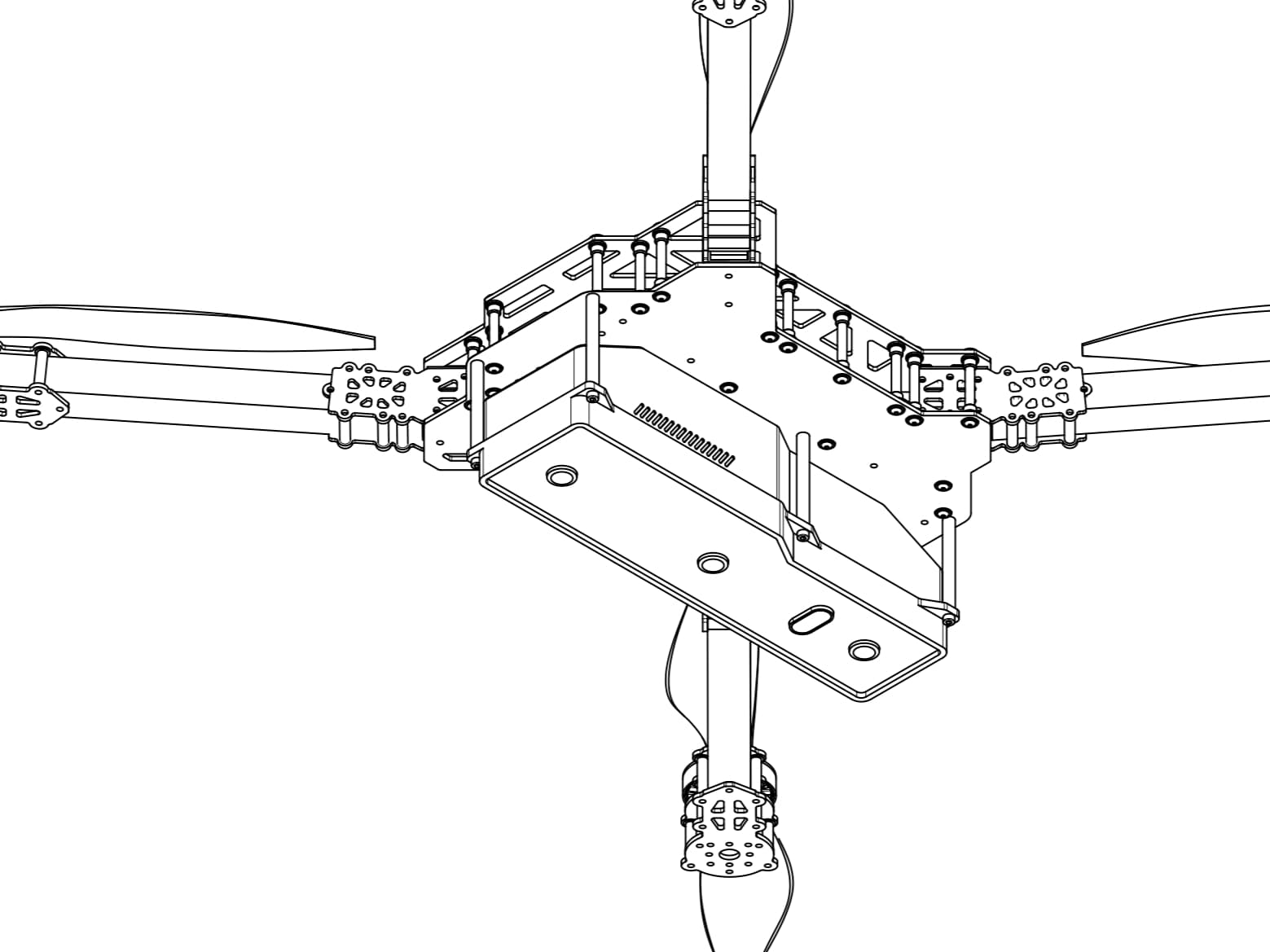
Module mounted on a multirotor airframe (CAD)
Plugs into your existing stack
Get in touch
Request a demonstration or talk to the team about integrating Stride VPS.